
Australia’s Disaster Ready Fund Backs AI for Bushfires and Heatwaves

Image Credit: Matt Palmer | Splash
Australia’s National Emergency Management Agency has updated its Disaster Ready Fund program page, and the current project listings include several initiatives that explicitly reference machine learning as part of disaster readiness systems.
The Disaster Ready Fund is described by NEMA as a national initiative for disaster resilience and risk reduction, with up to $1 billion in funding over five years from 1 July 2023, delivered in partnership with state and territory agencies.


AI Placed Inside Operational Warning and Response Workflows
Across the project tables, the pattern is clear. Many entries focus on sensors, monitoring, modelling, and automated warnings. A smaller subset goes further and explicitly names machine learning as the analytical engine used to turn incoming signals into faster decisions.
Two projects stand out because their listings spell out both the AI method and the intended operational benefit.


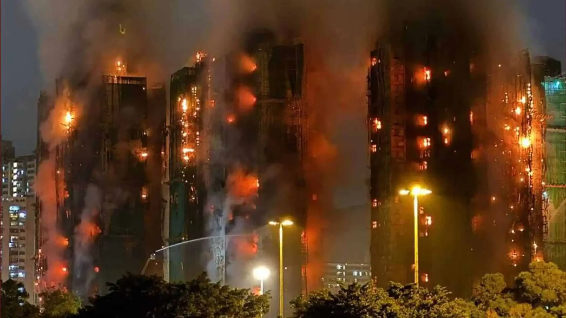
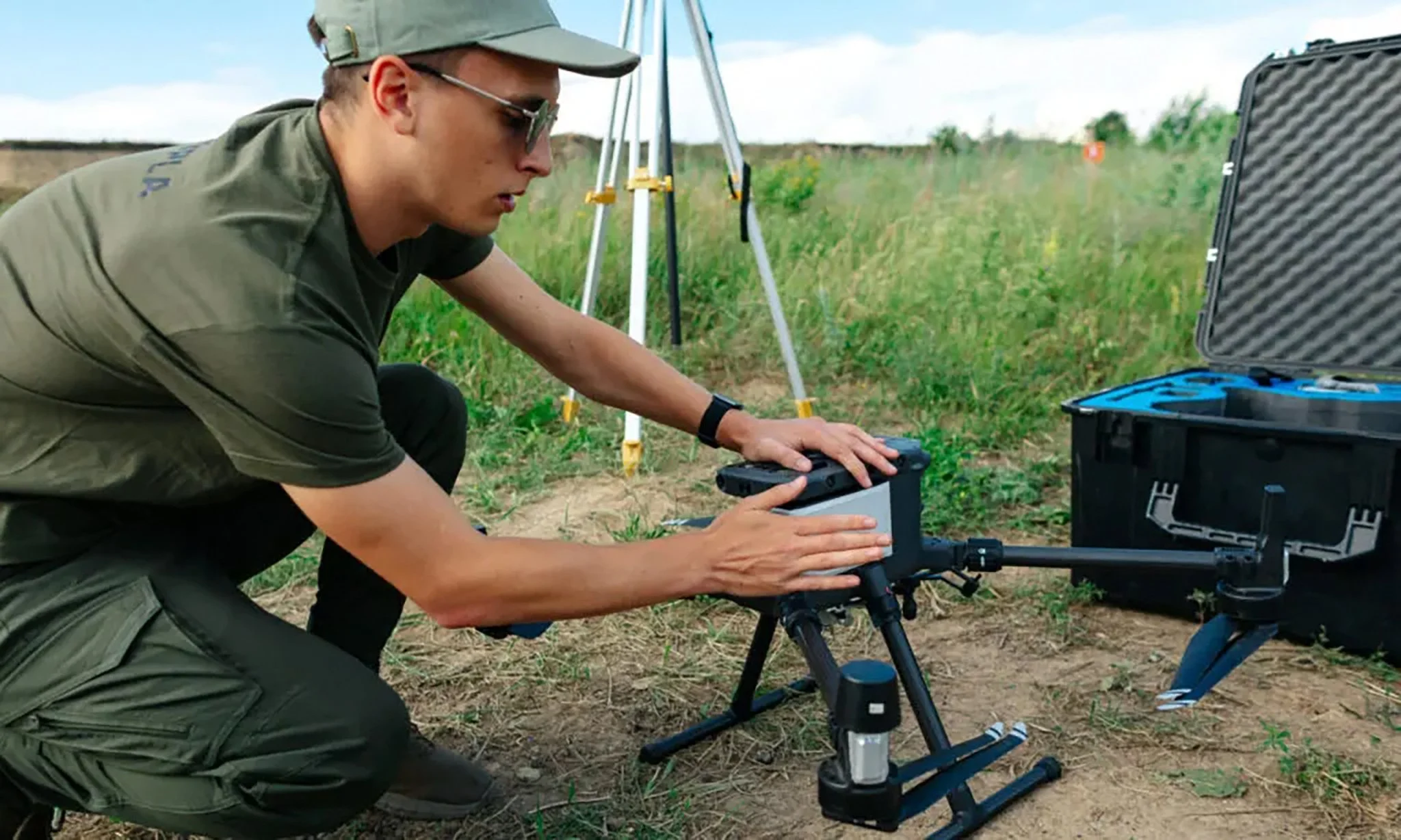
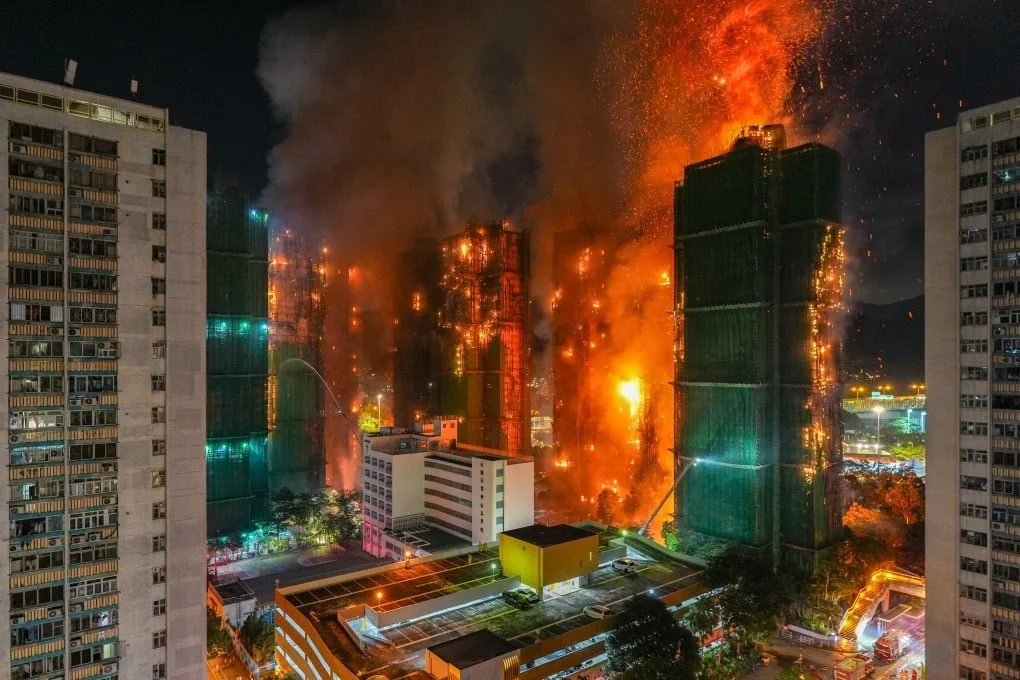
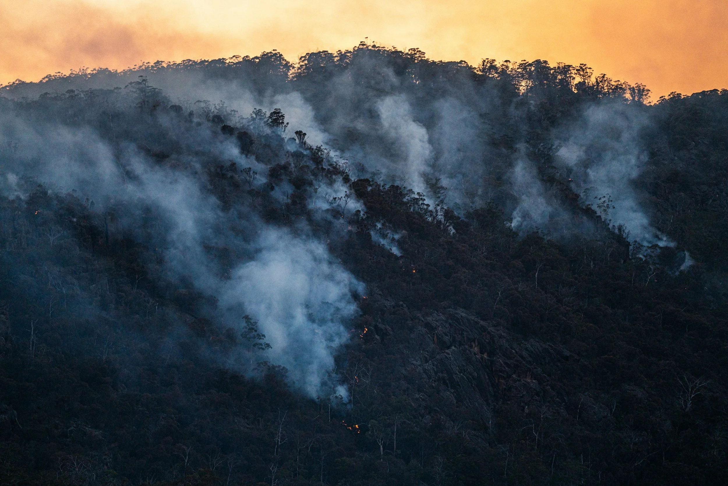
Victoria: Remote Bushfire Detection Uses Machine Learning with Satellite and Ground Cameras
In the Victoria section of the listings, “Remote Bushfire Detection” is labelled “State wide”, meaning state wide within Victoria. The project description says it seeks rapid identification of bushfire ignitions using satellite and terrestrial camera technology integrated with machine learning. It links this to quicker responses, reduced impacts on people, property and the environment, improved first responder safety, and reduced suppression costs. Funding is listed as $1.5 million Commonwealth, $1.5 million co contribution, $3.0 million total.
Additional detail on the Victorian work is available via Forest Fire Management Victoria and a federal ministerial joint media release. They describe a trial assessing the reliability and timeliness of smoke detecting AI software using 24 hour ground cameras mounted on specific fire lookouts across the state, configured to detect smoke, and intended to complement trained Fire Lookout Observers.
The listing and the Victorian trial material point to a practical design choice: AI is being treated as a filtering and triage layer that supports human operators, rather than replacing them. That matters in emergency settings where false alarms, missed detections, and operational accountability can be as important as detection speed.


Western Australia: HeatWatch Applies Advanced Machine Learning to Heatwave Surveillance
In the Western Australia section, the listings include “HeatWatch, Department of Health (WA)”. The description says the project addresses heatwave risk by leveraging advanced machine learning to develop HeatWatch, described as a syndromic surveillance system. It also states the goal is to support timely responses that reduce health system demand from heatwaves, protect at risk populations, and enhance longer term resilience. Funding is listed as $246,752 Commonwealth, $266,038 co contribution, $512,790 total.
Unlike bushfire detection, which relies heavily on imagery and location signals, the HeatWatch listing frames machine learning as a way to interpret health related indicators fast enough to influence response timing. The listing does not specify the underlying data sources or model design, so the most defensible conclusion is simply that WA is funding an AI enabled surveillance capability with the stated aim of earlier situational awareness during extreme heat events.


Similar Approaches Already Operating in Australia
The Disaster Ready Fund work sits alongside other Australian deployments that use AI cameras for fire detection and response coordination.
ABC Rural reported on 11 January 2026 that Tasmania’s remote fire detection technology is set to double after AI cameras detected more than 500 blazes across the state during the 2024 to 2025 bushfire season. The report also says a $1.4 million federal government grant will support rolling out more cameras and drones.
For readers comparing the DRF listings with live operational performance, the Tasmania example is useful because it includes measurable claims about detections and expansion funding, while the Victorian material is useful because it describes how a trial is being structured and evaluated before broader rollout decisions.


The Broader Smart Infrastructure Signal
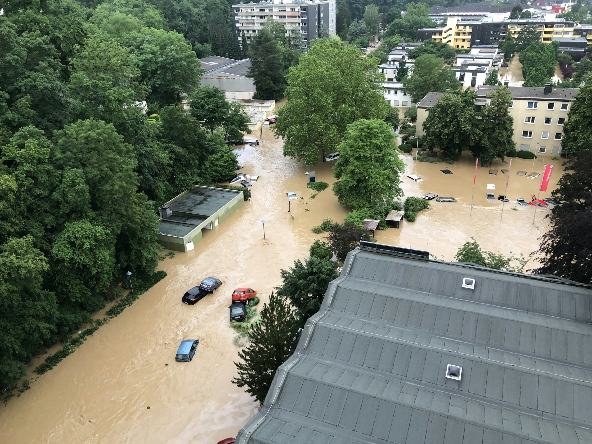
Even where machine learning is not explicitly mentioned, the DRF listings include many projects that modernise warning infrastructure through automation, sensors, and decision support tooling. Examples in the listings include an automated flood road warning system using water level sensor cameras linked to flashing signage and remote monitoring, as well as a Tasmanian flood intelligence and early warning detection system described as providing live data and visual intelligence for operational decisions.
This matters because AI based projects rarely succeed in isolation. They usually depend on communications reliability, sensor placement and maintenance, alert routing, and governance that defines who can act on alerts and how quickly. The DRF listings read as an ecosystem build, with machine learning appearing as one layer inside a larger chain from detection to decision to public warning.


Round Four Timing
NEMA’s DRF page says Round Four (2026 to 27) is expected to open in early to mid 2026, and NEMA is seeking community feedback via an online survey to inform future round design.
The practical indicators to track in the next tranche of projects will be the ones that determine real world utility: detection accuracy over time, false alarm management, integration with existing warning systems, and the human oversight model that governs escalation and public messaging.


We are a leading AI-focused digital news platform, combining AI-generated reporting with human editorial oversight. By aggregating and synthesizing the latest developments in AI — spanning innovation, technology, ethics, policy and business — we deliver timely, accurate and thought-provoking content.