
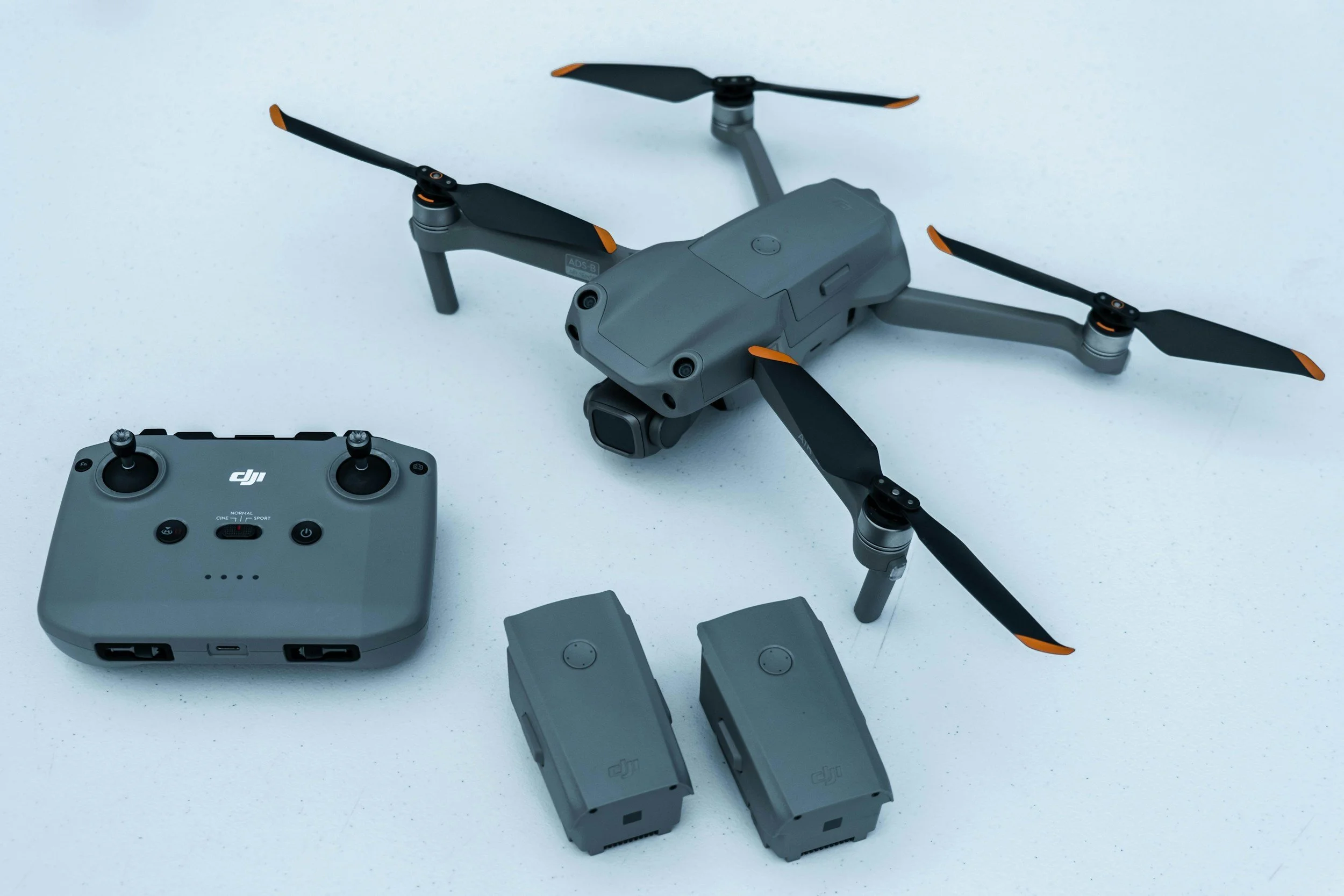
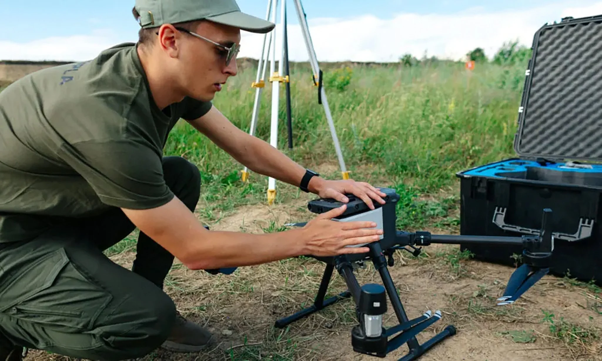
GDU Unveils UAV P300 at CES 2026: AI Vision Cuts Through Fog
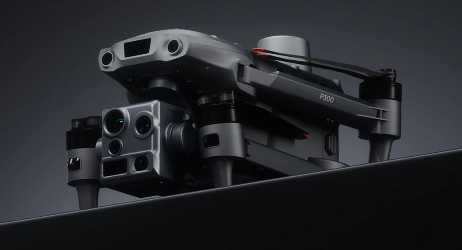
Image Source: GDU
Chinese drone maker GDU has used CES week in Las Vegas to unveil the UAV P300, an enterprise focused drone pitched at public safety, smart city operations and inspection work, with a heavy emphasis on onboard AI for seeing and navigating in difficult conditions.


Designed for Public Safety
In its launch announcement, GDU describes the UAV P300 as an AI powered platform built to maintain usable imagery in low visibility weather and low light, while keeping autonomous flight stable around hazards such as cables and structures. The company positions it for public safety, smart city monitoring, aerial surveying, and cultural tourism documentation.
GDU also states the UAV P300 will be available for purchase from late January 2026.


AI Helps Seeing Through Fog and Rain?
GDU’s core “AI vision” pitch centres on three areas: image clarity, low-light capture, and machine-assisted flight safety, as described by the company.
Seeing through fog and rain: GDU says the drone uses a combined optical, electronic, and AI-driven defogging approach, and claims this can boost visibility by up to 50% in rain or fog. The company has not published a public test methodology or any third-party validation to support this figure.
Night operations: GDU lists a 50-megapixel wide-angle sensor and “AI full-colour” 4K night vision on its product page, along with infrared support for darker scenes. The practical message is that the system is designed for operators who need to capture usable imagery in low-light conditions, rather than footage optimised only for daylight use.
Thermal imaging with AI enhancement: According to GDU, the thermal module uses AI-enhanced processing to improve identification and highlight heat-related details. The product page also refers to improved detail and AI-based upscaling-style features. As with other performance statements, these remain vendor claims and are not yet supported by independent testing or benchmarking.


Licence Plate Recognition from 300m?
Two separate sources repeat the same capability statement: GDU’s product page states “300m licence plate recognition”, alongside 11x optical zoom and 176x hybrid zoom. Aerospace Global News also reports the drone can read licence plates at 300 metres.
This is a manufacturer claimed capability. Real world identification distance depends on many factors, including lighting, angle, motion blur, compression, and local legal constraints on surveillance.


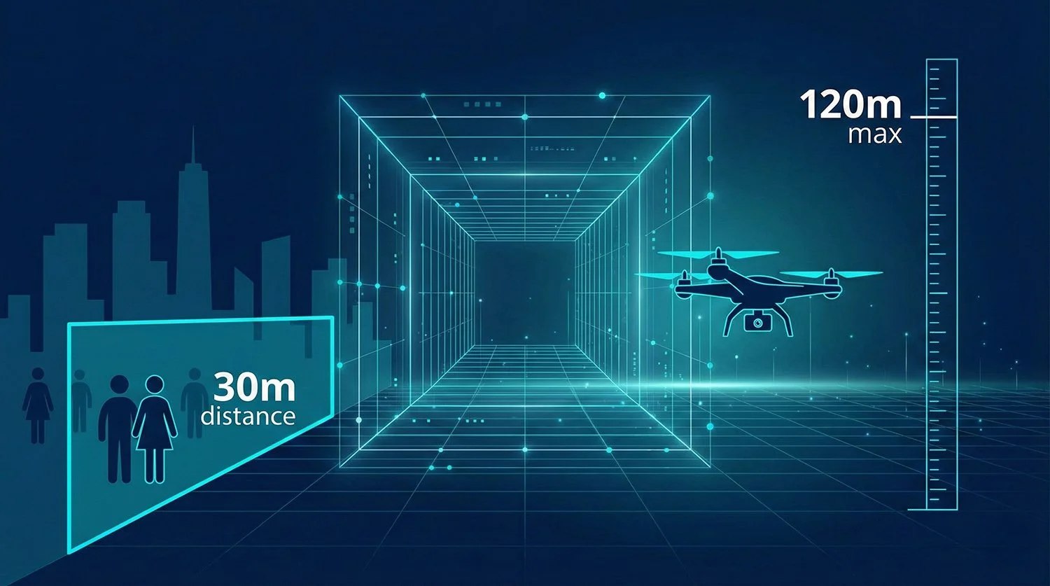
AI-assisted Flight Safety and Operating When GNSS is Weak
GDU says the UAV P300 uses LIDAR plus AI obstacle avoidance for navigating around structures and hazards. It also describes visual SLAM navigation to help maintain stability and return to home behaviour in areas where GNSS signals and data links are disrupted, which is relevant to civilian inspections around dense infrastructure.


Civilian Use Cases
GDU’s own examples cluster into three real world civilian buckets:
Emergency response and firefighting: better visibility and thermal sensing for faster scene assessment in smoke, haze, or darkness.
Infrastructure and energy inspection: zoom, thermal, obstacle avoidance, and repeatable navigation for power grid and energy inspection work.
Smart city monitoring and event security: automated observation workflows that prioritise consistency over “one pilot, one flight”.


The Broader Industry Trend
The UAV P300’s headline idea is not just “a better camera”. It is part of a broader industry trend where enterprise drones are becoming sensor platforms plus onboard AI, designed to reduce operator workload and keep missions running when conditions are messy.
Dock based automation: DJI’s Dock 2 and Matrice 3D or 3TD setup represents a mature “drone in a box” approach for repeatable inspections and remote operations, including features such as camera lens defogging listed in DJI specs.
Onboard AI navigation as a product identity: Skydio’s X10 is positioned around onboard compute and real time decision making, with its technical specs listing an NVIDIA Jetson Orin SoC and IP55 rating.
GNSS challenged operations: Autel markets the EVO Max 4T around navigation in GNSS denied environments and autonomy oriented flight planning narratives, showing how “works where GNSS struggles” has become a standard enterprise selling point.
In that context, GDU’s pitch is best read as: keep the mission going when visibility, lighting, or navigation conditions would normally force you to stop.


Can It Be Shipped Worldwide?
Even if the product ships on time, enterprise drones are increasingly shaped by regulation and procurement rules, not just specs. In the United States, FCC actions around the Covered List and subsequent exemptions have made the future pathway for new foreign made drone models a live policy issue, and it is receiving active coverage in early January 2026.
GDU’s launch materials reviewed here do not clearly spell out US specific availability, so it is more accurate to say US availability is uncertain than to say it will not launch there.


We are a leading AI-focused digital news platform, combining AI-generated reporting with human editorial oversight. By aggregating and synthesizing the latest developments in AI — spanning innovation, technology, ethics, policy and business — we deliver timely, accurate and thought-provoking content.