
Managing Drone Traffic: AI Systems Target Airspace Below 400 Feet

AI-generated Image for Illustration Only
(Credit: Jacky Lee)
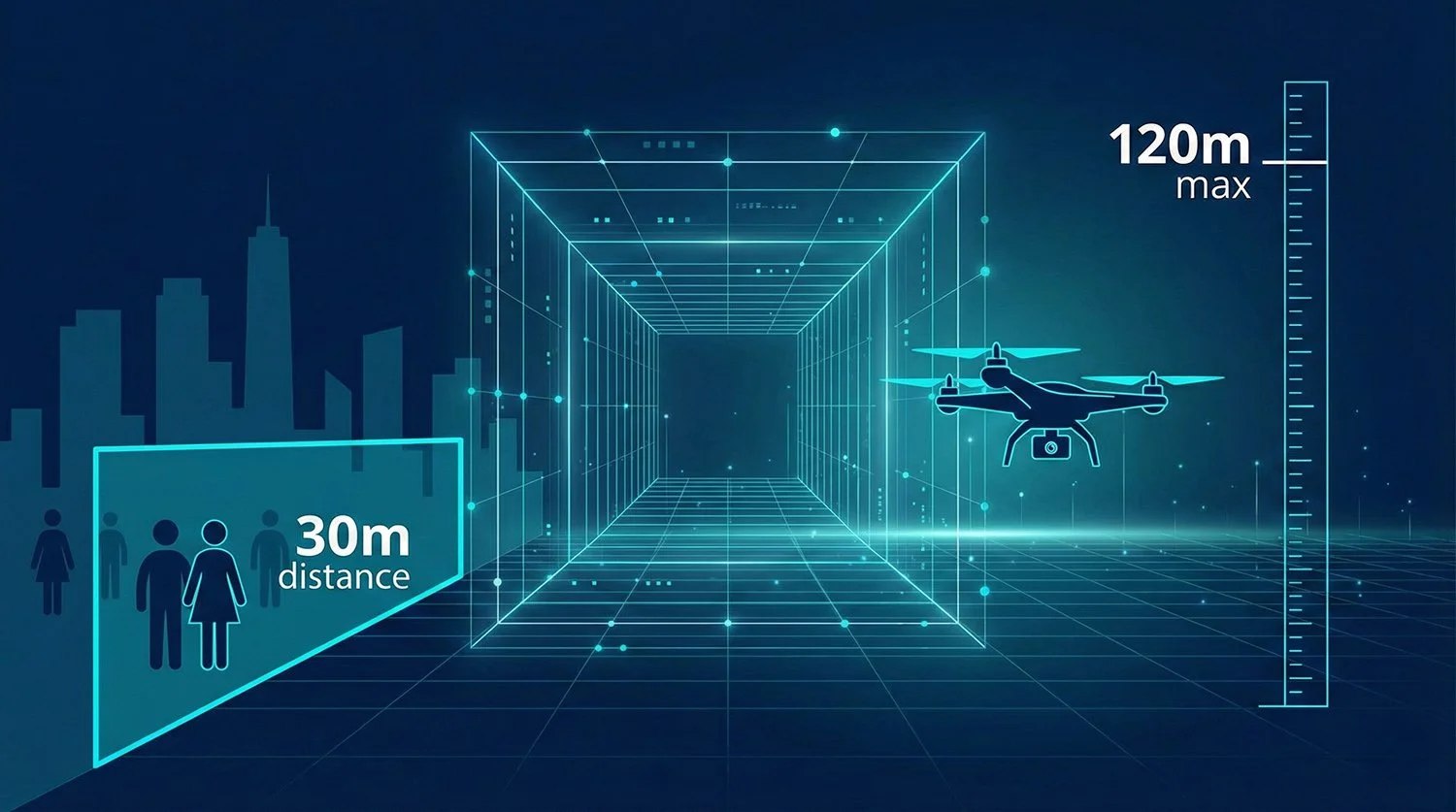
Unmanned traffic management (UTM) systems – the digital infrastructure for coordinating drones in low-altitude airspace – are steadily adding artificial intelligence to cope with a growing mix of commercial flights, from medical deliveries to line inspections. The aim is to reduce collision risk and automate routine planning as operations expand below about 400 feet, where traditional radar coverage and conventional air traffic control are limited.
Rather than replacing human controllers, these systems are being designed to sit alongside existing aviation infrastructure, providing automated “strategic” planning before take-off and “tactical” conflict management once drones are in the air.


From NASA Testbeds to U-space Rules
Formal UTM work in the United States dates back to around 2014–2015, when NASA and the Federal Aviation Administration (FAA) began joint research on how to integrate large numbers of small unmanned aircraft into low-altitude airspace without overloading conventional air traffic control. NASA’s final Technical Capability Level 4 (TCL4) flight tests in 2019, conducted at sites in Nevada and Texas, showed that software-based UTM services could manage multiple small UAS operating between the ground and 400 feet in complex airspace with constraints and simulated urban missions.
The FAA then used its UTM Pilot Program (UPP) and related activities to test how UTM service suppliers could share flight-intent data, support strategic deconfliction before take-off and interface with FAA systems. Those trials helped underpin later initiatives such as the “Shared Airspace” network in North Texas, where several companies plug into a common UTM framework ahead of broader rule changes for beyond-visual-line-of-sight (BVLOS) operations.
In Europe, the regulatory push has taken a different form. The U-space package – centred on Implementing Regulation (EU) 2021/664 – entered into force in 2021 and became applicable from 26 January 2023, creating a harmonised framework for digital drone services in designated U-space airspace. Under this model, certified U-space service providers offer functions such as network identification, geo-awareness and traffic information, working alongside national air navigation service providers.


Medical Cargo and National Platforms
Recent demonstrations show how AI-enabled UTM concepts are moving from laboratory settings into tightly controlled real-world operations.
In Belgium’s Kempen region, Skyports Drone Services and hospital group AZ Turnhout launched a medical drone delivery trial in August 2025. The service flies BVLOS routes between AZ Turnhout’s campuses and AZ Herentals, carrying urgent pathology samples and other time-sensitive medical items. The drones are piloted from a remote operations centre in the United Kingdom, while Unifly’s UTM platform provides real-time services such as flight authorisation and traffic information within the BURDI (Belgium–Netherlands U-space Reference Design Implementation) project.
The BURDI initiative has focused on cross-border interoperability and the practical use of U-space services for logistics and medical flights. Public documentation highlights successful BVLOS operations and cross-jurisdiction approvals, but it does not claim fully autonomous, nationwide AI-driven deconfliction.
Other countries are laying the foundations for larger-scale deployments. In Norway, air navigation service provider Avinor has selected Thales to deploy TopSky–UAS, powered by AstraUTM, as a nationwide UTM platform. The system is intended to provide real-time traffic management, compliance monitoring and safe integration of drones with conventional aviation, with a phased rollout planned across Norwegian airspace.
In the Middle East, Dubai has appointed ANRA Technologies to develop a UTM system for coordinating drone traffic around major infrastructure projects, focusing on scalability and integration into the city’s wider airspace management plans.


From Product Features to Research Prototypes
UTM vendors are beginning to add machine-learning components to their platforms, although detailed public performance data is still limited.
Unifly reports using AI techniques within its UTM system to support U-space services, for example by filtering and prioritising traffic information and assisting with conflict detection in projects such as BURDI and the Belgian medical-delivery trials. Public materials emphasise automation and scalability but do not publish metrics such as specific reaction times or quantified reductions in collision risk.
ANRA Technologies and partners describe AI as a way to process large volumes of surveillance and airspace data to support strategic deconfliction, airspace monitoring and compliance checks ahead of implementation of the FAA’s proposed Part 108 rules for BVLOS. Industry coverage references AI-assisted situational awareness but does not independently verify detailed claims such as automatic approval rates for flight requests in particular cities.
At the research level, several academic groups are exploring how sequence-based neural networks can forecast flight paths and potential conflicts. A June 2025 paper in the MDPI journal Drones presents “A Deep Learning-Based Trajectory and Collision Prediction Framework for Safe Urban Air Mobility”, which uses an LSTM–attention model trained on 56 simulated urban air-mobility routes sampled at 0.1-second intervals. The framework achieves high-precision 10-second trajectory predictions and multi-level collision risk assessments, and is explicitly positioned as a proof-of-concept for future low-altitude traffic management rather than a production system.


How the Data Flows: ADS-B, Remote ID and Sensor Fusion
Many explanations of UTM highlight Automatic Dependent Surveillance–Broadcast (ADS-B), a surveillance technology in which an aircraft periodically broadcasts its GPS-derived position, altitude and ground speed to ground stations and other aircraft, typically once per second. ADS-B is widely used for crewed aviation and is a core part of the US NextGen modernisation programme.
However, most small drones do not use ADS-B Out in routine operations. Under the FAA’s Remote Identification of Unmanned Aircraft rule and related amendments to Parts 89 and 107, ADS-B Out and transponders are generally prohibited on small UAS operating under Part 107, except where specifically authorised, in order to avoid saturating frequencies used by manned aircraft. Instead, drones subject to the rule must broadcast identification and location information via Remote ID modules or integrated systems, using short-range wireless links.
In practice, current UTM and U-space implementations combine several data sources:
Operator-provided flight plans and constraints submitted before take-off
Remote ID or similar identification data from drones where required
Cooperative surveillance, such as ADS-B data from crewed aircraft and, in special cases, from UAS with authorised ADS-B Out equipment
Non-cooperative detection, using radar, optical tracking or RF sensing to detect aircraft that do not broadcast their position
Static and dynamic airspace information, including restricted areas, temporary no-fly zones and weather updates
AI models sit on top of this fused data, helping to flag potential conflicts, detect non-compliant flights and, in some trials, propose route changes that operators can accept or adjust.


Regulatory Context: Part 108 and U-space Deployment
The FAA’s BVLOS Notice of Proposed Rulemaking, titled “Normalizing Unmanned Aircraft Systems (UAS) Beyond Visual Line of Sight Operations”, proposes a new Part 108 to normalise many low-altitude BVLOS operations. The draft rule sets performance-based requirements for detect-and-avoid capabilities, operator qualifications and airspace procedures, and envisages a significant role for network-based services in supporting safe BVLOS flight. Public comment on the proposal closed in October 2025, and the final rule has not yet been issued.
Notably, the NPRM does not create a blanket mandate for drones to carry ADS-B Out in controlled airspace. Instead, it maintains the existing position that most small UAS should not routinely use ADS-B Out, relying on Remote ID and other surveillance mechanisms, with ADS-B remaining primarily a crewed-aviation tool except in specific authorised operations.
In Europe, U-space rules require that U-space service providers deliver a defined set of digital services – including network identification and traffic information – before drones can operate inside designated U-space volumes. National authorities are still at an early stage in designating U-space airspace and selecting providers, and operational deployments to date have mostly been limited to pilot projects and initial corridors rather than broad, continuous European coverage.
Norway’s Avinor–Thales project illustrates how some air navigation service providers are procuring UTM as core infrastructure. Public statements emphasise a scalable, automated platform designed to support future advanced air mobility as well as current drone operations, but they describe a phased implementation rather than immediate, fully automated control of all low-altitude traffic.


Low-Altitude Benefits vs Airport Risks
Advocates of AI-enabled UTM argue that better coordination can reduce mid-air conflicts as drone numbers grow, especially in dedicated low-altitude corridors used for deliveries and inspections. NASA’s TCL4 trials demonstrated that UTM services can manage high-density operations in controlled test environments when all participants share data and accept UTM-generated constraints.
At the same time, recent incident data highlight why regulators remain cautious. An Associated Press analysis of NASA’s Aviation Safety Reporting System and FAA data, reported in April 2025, found that drones accounted for 51 percent (122 of 240) reported near-miss incidents over the past decade and nearly two-thirds of such events at the 30 busiest US airports in 2024. US officials have also reported more than 3,000 drone incidents near American airports since 2021, with several cases requiring evasive manoeuvres by crewed aircraft.
These figures relate primarily to unauthorised or misused drones near airports rather than to organised UTM trials, but they underline the stakes for any system that claims to make low-altitude airspace safer.


We are a leading AI-focused digital news platform, combining AI-generated reporting with human editorial oversight. By aggregating and synthesizing the latest developments in AI — spanning innovation, technology, ethics, policy and business — we deliver timely, accurate and thought-provoking content.